Shenzhen Bi-City Biennale of Urbanism /Architecture: Re-Living the City
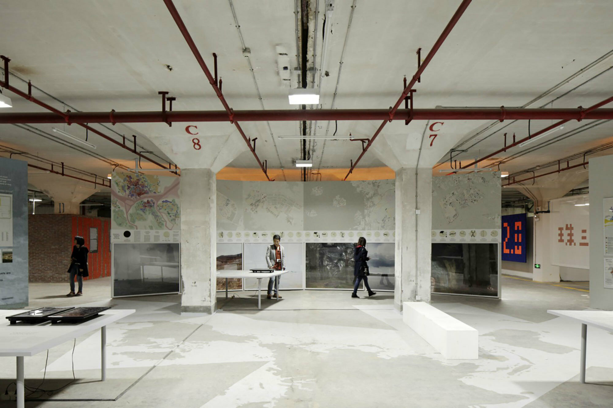
Exhibition view, Cartographies of Planetary Urbanization, Dacheng Flour Factory Shenzhen, December 2015
Cartographies of Planetary Urbanization
Today, urbanization has become planetary. The boundaries of the urban
have been exploded to encompass vast territories far beyond the limits
of even the largest mega-city regions. Meanwhile, novel patterns of
urbanization are crystallizing that challenge inherited conceptions of
the urban as a bounded, universal settlement type.This exhibit proposes a
radical rethinking of inherited cartographies of the urban. The popular
claim that we now live in an ‘urban age’ because the world’s majority
population lives in ‘cities’ is a deeply misleading basis for
understanding the contemporary “urban revolution” (Henri Lefebvre).
Cities are not isolated manifestations or universally replicated
expressions of the urban condition, but are embedded within wider,
territorially uneven and restlessly evolving processes of urbanization
at all spatial scales, encompassing both built and unbuilt spaces,
across earth, water, sea and atmosphere. In this exhibit,
interdisciplinary research teams from the ETH Zurich, ETH Future Cities
Laboratory Singapore and the Urban Theory Lab at the Harvard Graduate
School of Design present new frameworks for understanding and
representing contemporary forms of urbanization through three
interrelated lines of inquiry:
We present a novel analysis of the relentless urban transformations and the great variety of urbanization processes that can be observed in Tokyo, Hong Kong/Shenzhen/Dongguan, Kolkata, Istanbul, Lagos, Paris, Mexico City and Los Angeles. We explode the singular notion of “the” city to explore various patterns and pathways of urbanization in some of the world’s most dynamically changing urban territories. We propose a new vocabulary for the comparative analysis of urbanization across regions and territories.
We extend our lens on urbanization far beyond the large cities, to explore the extension and thickening of the urban fabric in some the planet’s supposedly most ‘remote’ or ‘wild’ zones—the Amazon, the Arctic, the Gobi desert, the Himalayas, the Sahara, Siberia, the Pacific Ocean, and the earth’s atmosphere. Even in these sparsely populated areas, urbanization is today associated with a massive intensification of land-use, new forms of large-scale connectivity and various forms of socio-metabolic transformation in conjunction with strategies to secure and circulate materials, energy and food for the world’s population centers.
We analyze the transnational hinterland archipelago that supports urbanization in Singapore, one of the world’s most globally networked agglomerations. In contrast to standard representations of cities as self-propelled economic powerhouses, we track the wide-ranging flows of food, water, energy, sand, and labor-power, embedded within a territorially differentiated, dynamically evolving hinterland, that support a growing, globally strategic urban center. Instead of the city-state, we propose the cross–border metropolitan region as the new urban paradigm for Singapore.
The exhibition highlights the interplay in our work between (a) the search for new theoretical concepts; (b) territorially grounded studies of specific patterns and pathways of urbanization and (c) the use of cartography to decipher new geographies of urbanization for which we currently lack an adequate analytical or representational vocabulary.